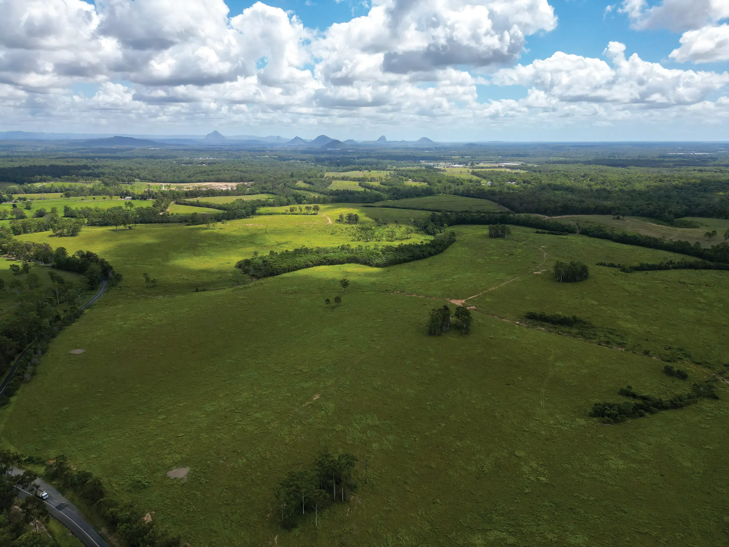
The Waraba Priority Development Area (the PDA) was declared by regulation on 2 August 2024.
The PDA is envisaged to develop over 40 years into a vibrant community for people to live, work, learn and play. It will accommodate a population of around 65,000 people in about 25,000 homes and provide for approximately 17,000 jobs in various employment and activity centre locations.
Public notification period: 18 May 2026 to 2 July 2026

South East Queensland
PDA

Far North Queensland
PDA
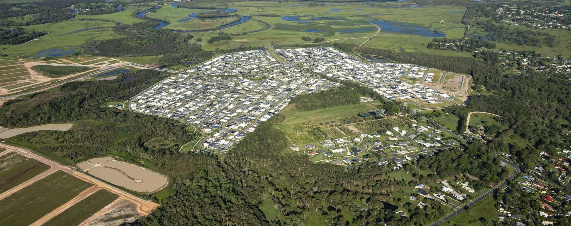
The Mount Peter Priority Development Area (PDA) was declared on 30 July 2025 and the Mount Peter PDA Interim Land Use Plan is now in effect.
South East Queensland
PDA
The Boggo Road Cross River Rail (CRR) Priority Development Area (PDA) was declared on 2 October 2020.
South East Queensland
PDA
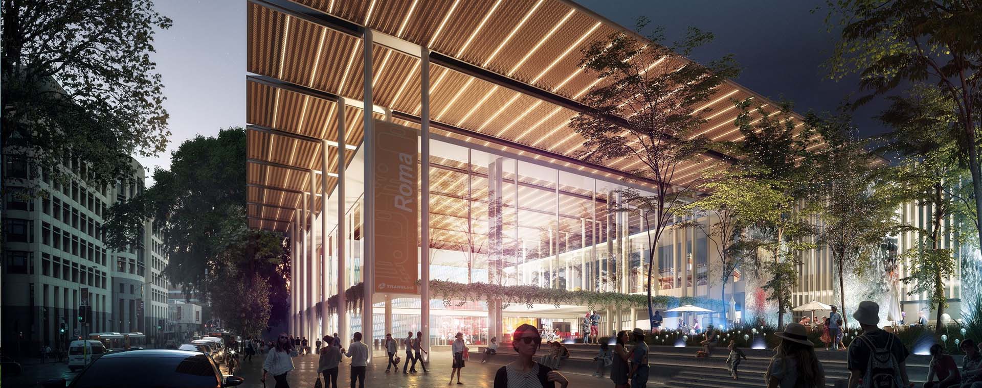
The Roma Street Cross River Rail (CRR) Priority Development Area (PDA) was declared on 13 December 2019.

South East Queensland
PDA
The Herston Quarter Priority Development Area (PDA) will be redeveloped into a mixed-use, health-related precinct. The proposed redevelopment includes a public health facility, private hospital, aged care and retirement living, residential accommodation, childcare facilities, retail and restaurants.

South East Queensland
PDA
The Maroochydore City Centre Priority Development Area (PDA) will create a new central business district for the Sunshine Coast, support economic development and build much needed infrastructure.

South East Queensland
PDA
The Moreton Bay Central Priority Development Area (PDA) will facilitate the development of the University of the Sunshine Coast Moreton Bay campus.
South East Queensland
PDA
The North Harbour Priority Development Area (PDA) was declared on 30 July 2025 and the North Harbour PDA Interim Land Use Plan is now in effect.