


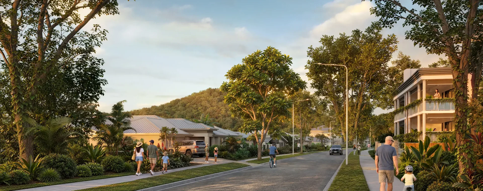
The Southern Thornlands PDA covers 890 hectares and will play an important role in addressing Redland City Local Government Area’s (LGA) future housing, infrastructure, and economic needs. Recognised as a priority future growth area in Shaping SEQ in 2023, this PDA supports the region’s future growth.
Public notice
Pursuant to section 59 of the Economic Development Act 2012, the Minister for Economic Development Queensland gives notice that public notification of the proposed Development Scheme for the Mount Peter Priority Development Area has commenced.
The Minister for Economic Development Queensland invites written submissions about the proposed Development Scheme during the public notification period:
15 September 2026 to 28 October 2026
For further information, to review the proposed Development Scheme or to make a submission, visit the Mount Peter PDA Have your say page.
Post: Economic Development Queensland, GPO Box 2202, Brisbane QLD 4001
Key details
Mount Peter has long been identified as a strategic location for Cairns’ future urban growth.
Covering approximately 2,650 hectares, Mount Peter is located within Cairns’ southern growth corridor, extending from Edmonton in the north towards Gordonvale in the south. It is positioned between the Wet Tropics World Heritage Area and the Bruce Highway.
The Mount Peter Priority Development Area was declared on 30 July 2025. The PDA Interim Land Use Plan (ILUP) is currently in effect and regulates development until a Development Scheme is finalised.
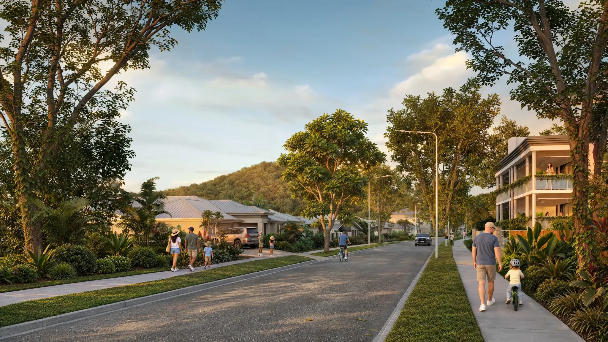
The Mount Peter PDA will deliver:
- Around 18,500 homes for more than 42,000 Queenslanders
- A $1.05 billion investment in catalyst infrastructure, including $438 million in road and transport and $613 million for sewer, local water supply, stormwater, parks, recreational spaces and community facilities
- Seven future state schools to support the local area’s growth, comprising two secondary schools and five primary schools
- Approximately 25-hectares of local parks and a 22-hectare district sports park, as well as trails, connected waterways and natural areas
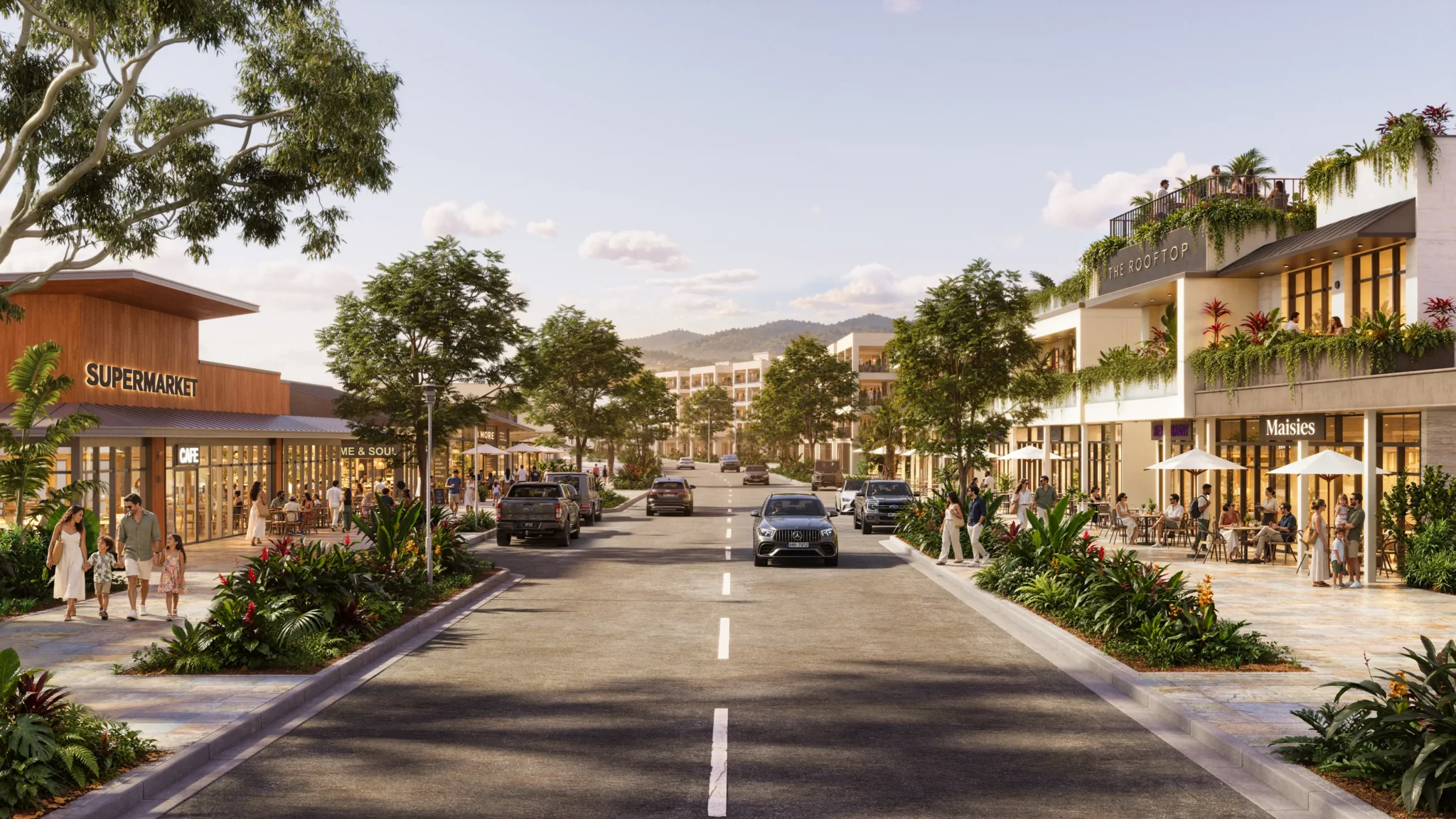
- Seven hectares of land earmarked for economic activity centres, including approximately 28,000m2 of retail, commercial and health-related businesses
- Approximately 1,350 new jobs close to home.

Proposed Development Scheme
The proposed Mount Peter PDA Development Scheme* is the statutory planning document that will guide land use, infrastructure planning and development assessment within the PDA.
It comprises:
- a Land Use Plan
- an Infrastructure Plan and
- an Implementation Strategy.
The Land Use Plan establishes the long-term vision for Mount Peter, identifies how land will be used and developed, and provides the policy framework for assessing future PDA development applications. It explains how land will be used and developed over time to deliver well-planned neighbourhoods with homes, centres, employment areas, schools, parks, community facilities and infrastructure as Mount Peter grows.
*Maps have been updated for legibility and to align with the Schedule of Works. Please familiarise yourself with the updated content.
Have your say
Public notification provides an opportunity for the community, landowners, businesses, industry and other interested stakeholders to review the proposed Development Scheme and make a written submission.
Public notification period: 15 September 2026 to 28 October 2026
Submissions received during the notification period will be considered as part of finalising the Scheme.
For documents, engagement session details and information about making a submission, visit the Mount Peter PDA Have your say page.
Infrastructure Activation Fund
The $2.4 billion Infrastructure Activation Fund is a joint investment by the Queensland and Australian Governments to fast-track homes within key growth areas.
For the Mount Peter PDA alone, this program will unlock 13,145 homes including 5,258 specifically for First Home Buyers. Across Queensland, the Infrastructure Activation Fund will accelerate 51,368 new homes with 20,547 supporting first home buyers.
Led by EDQ, the program will support the delivery of these homes over the next eight years by accelerating key catalyst infrastructure such as roads, water and sewer upgrades. The investment will unlock development ready land specifically in the Waraba, Southern Thornlands and Mount Peter PDAs and other key growth areas.
Further information regarding the program is available on the Infrastructure Activation Fund page.
Mount Peter PDA Interim Land Use Plan
The Mount Peter PDA Interim Land Use Plan (ILUP) is a temporary planning document that regulates development within the PDA while the Development Scheme is prepared and finalised.
Until the Development Scheme takes effect, PDA development applications are assessed against the ILUP.
Development assessment
Economic Development Queensland is responsible for assessing PDA development applications within Mount Peter.
Until the Development Scheme is finalised and takes effect, applications are assessed against the Mount Peter PDA ILUP. Economic Development Queensland also engages with Cairns Regional Council during the development application process.
Once approved, the Development Scheme will replace the ILUP and become the planning framework against which future PDA development applications are assessed.
Further information
For public notification documents, session details and information about making a submission, visit the Mount Peter PDA Have your say page.
Last updated: 06 October 2026
South East Queensland
PDA
South East Queensland
PDA
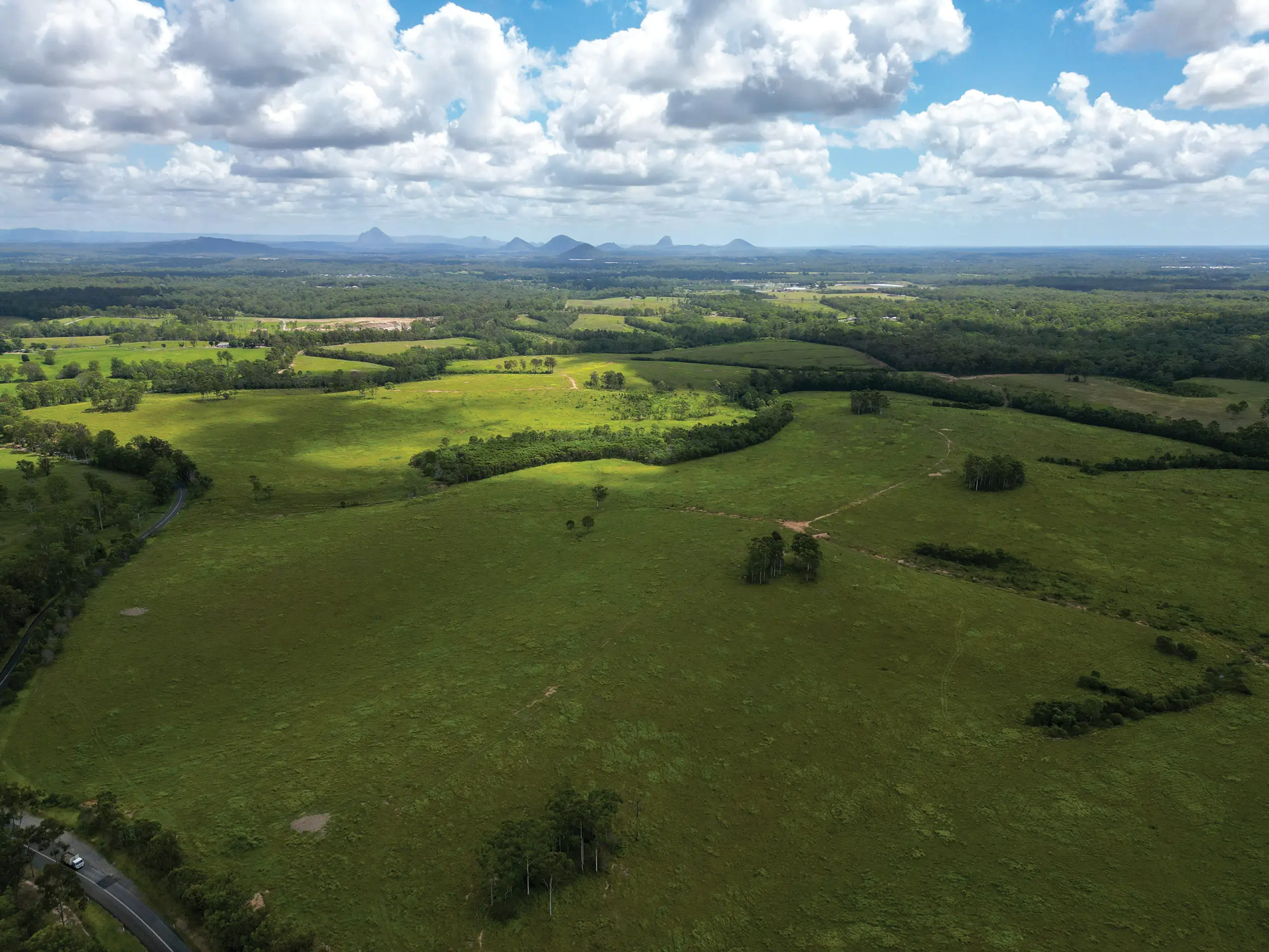
The Waraba Priority Development Area (the PDA) was declared by regulation on 2 August 2024.
The PDA is envisaged to develop over 40 years into a vibrant community for people to live, work, learn and play. It will accommodate a population of around 65,000 people in about 25,000 homes and provide for approximately 17,000 jobs in various employment and activity centre locations.
Public notification period: 18 May 2026 to 2 July 2026
South East Queensland
PDA
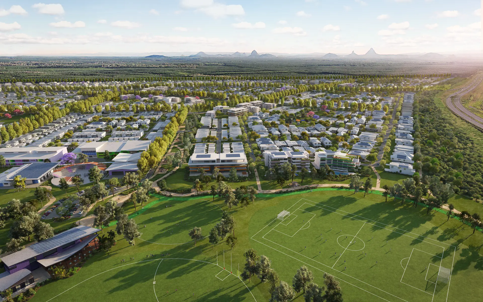
The Halls Creek Priority Development Area will support the delivery of up to 12,000 new homes on the Sunshine Coast, with planning for jobs, open space, infrastructure and essential services coordinated alongside future development.
South East Queensland
PDA
The Boggo Road Cross River Rail (CRR) Priority Development Area (PDA) was declared on 2 October 2020.
South East Queensland
PDA
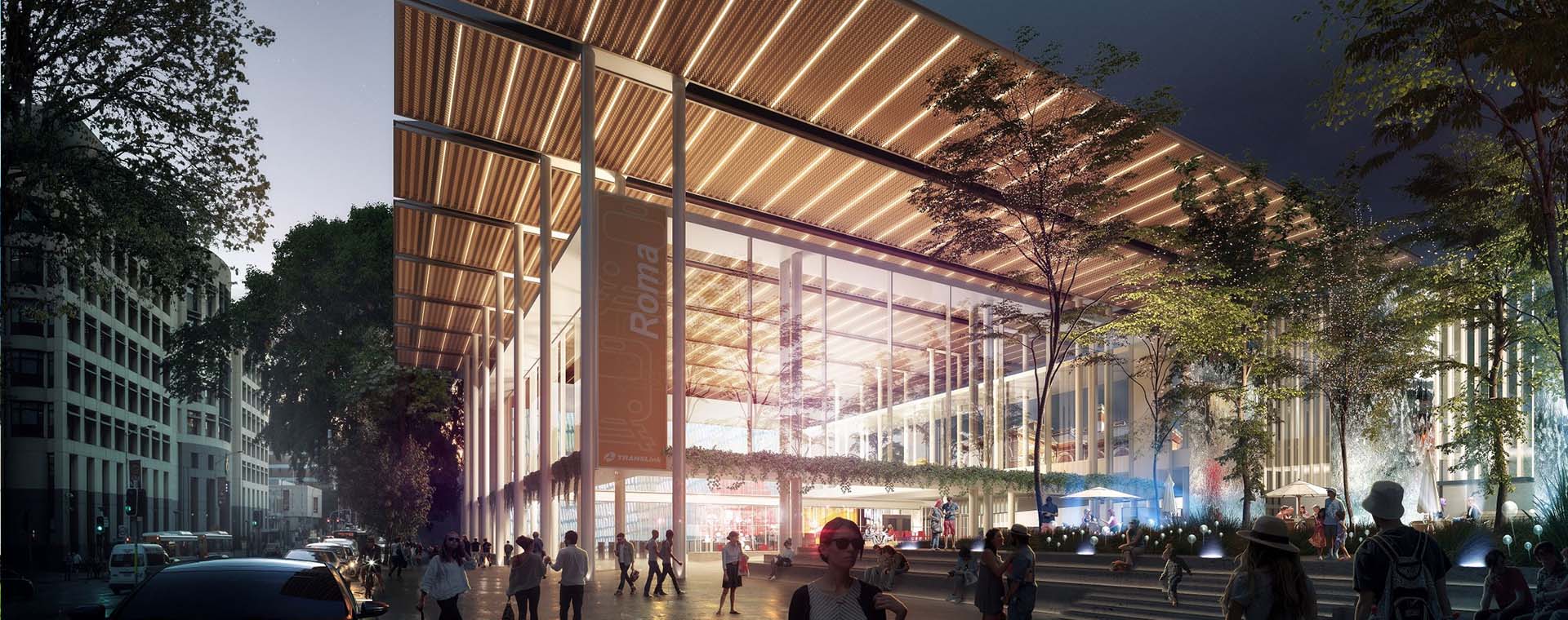
The Roma Street Cross River Rail (CRR) Priority Development Area (PDA) was declared on 13 December 2019.

South East Queensland
PDA
The Herston Quarter Priority Development Area (PDA) will be redeveloped into a mixed-use, health-related precinct. The proposed redevelopment includes a public health facility, private hospital, aged care and retirement living, residential accommodation, childcare facilities, retail and restaurants.

South East Queensland
PDA
The Maroochydore City Centre Priority Development Area (PDA) will create a new central business district for the Sunshine Coast, support economic development and build much needed infrastructure.