- Home
- Toolooa
Toolooa
Key details
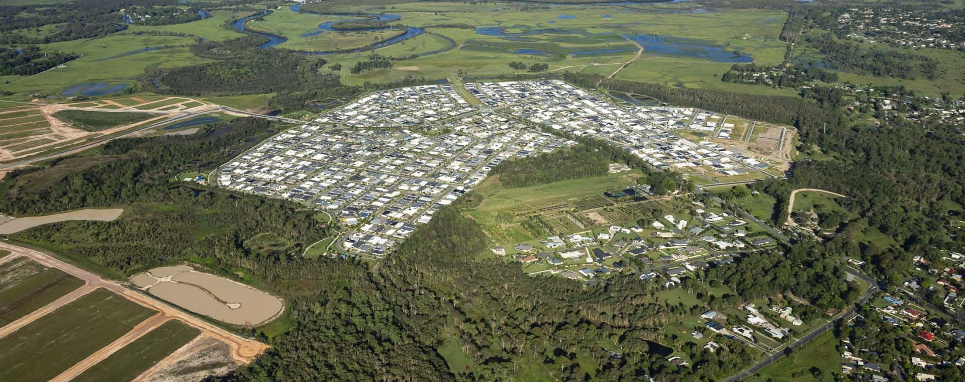
The Toolooa Priority Development Area (PDA) is to provide land for residential development.
It is located 6km south of the Gladstone CBD in the suburb of Toolooa and covers approximately 180ha.
The PDA is situated between Gladstone Benaraby Road, Phillip Street, Glen Eden Drive and Glenlyon Road.
The PDA was declared on 9 December 2011.
Development Scheme
The Development Scheme is the regulatory document which assists with planning, carrying out, promoting, coordinating and controlling land development within the PDA.
The Toolooa PDA Development Scheme commenced on 26 April 2013
Note: Amendments to the Economic Development Act 2012 have changed the interpretation of PDA exempt and PDA self-assessable development. More information.
Development assessment
Economic Development Queensland (EDQ) assesses development applications for this PDA.
All development applications are assessed against the Development Scheme.
Infrastructure
Funding and building infrastructure is key to facilitating development within PDAs. The ED Act authorises MEDQ to set and levy infrastructure charges within a PDA, with the Infrastructure Funding Framework (IFF) serving as the primary EDQ policy document concerning charges for Toolooa PDA. As outlined in the IFF, the Toolooa PDA refers to the relevant local government’s charging instrument to determine the calculation of these charges.
Toolooa PDA boundary map


Herston Quarter


Moreton Bay Central

Mount Peter

North Harbour

